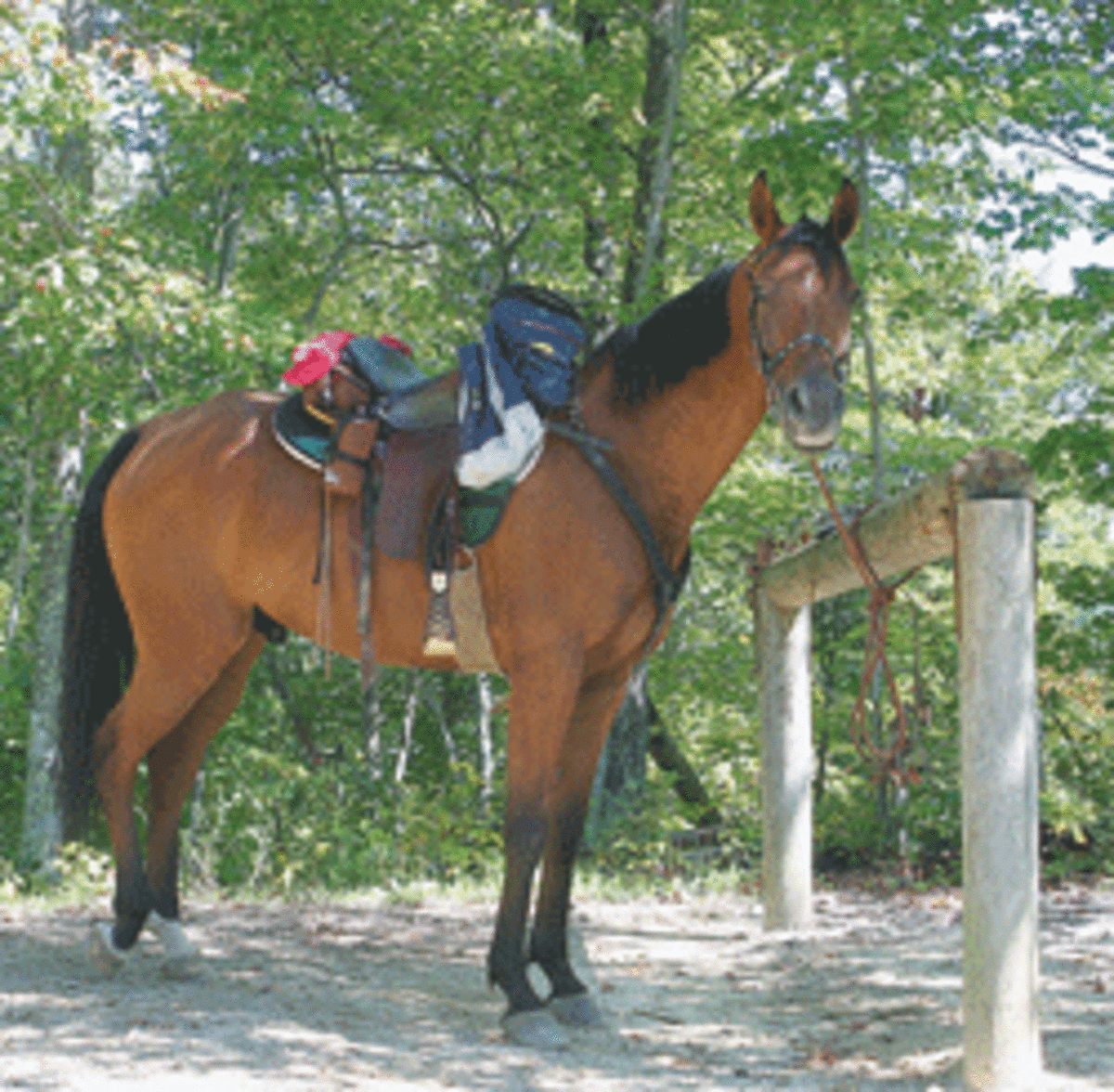
In north central Tennessee and southeastern Kentucky, there’s fabulous riding in Big South Fork National River and Recreation Area (BSF), which is under the auspices of the National Park Service. A multi-recreational area comprised of 125,000 acres in the Cumberland Plateau, BSF offers more than 180 miles of well-maintained, well-marked riding trails, and helpful, courteous rangers and stable managers to make your riding vacation in the area enjoyable.
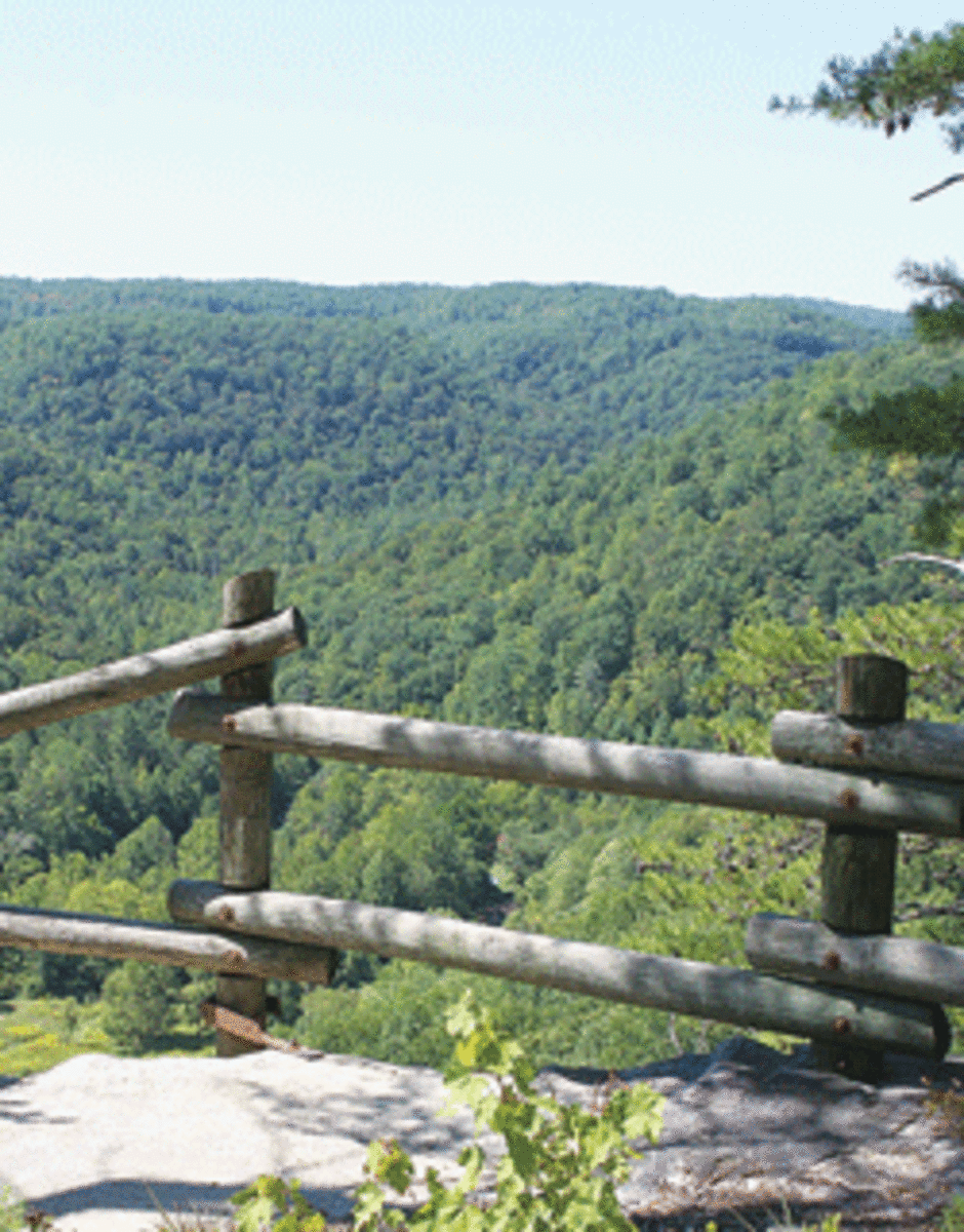
But it’s the trails with views of awesome gorges and sandstone rock formations that make BSF worthwhile. The trail footing is comprised mostly of dirt and sand, with some mild rocky areas, especially around and through creeks. And, at one point, you can even ford the Big South Fork of the Cumberland River. Although the area is rugged, the trails are well-constructed and placed so that you can have a great outing regardless of your riding level and your horse’s trail experience, as long as you’re prepared and choose the appropriate trails.

Getting There
The following directions will get you to the main park, but note that the road from Oneida has some steep sections (up to a 13 percent grade) and hairpin curves. It’s a good, paved road, and many a big rig has traversed it. But if you’re a timid driver, or your vehicle is low on power, you might want to consider one of the other approaches.
Interstate 40 travelers: Take the Jamestown-Crossville exit onto U.S. 127. Go north on U.S. 127 for 36 miles into Jamestown. Two miles north of Jamestown, take Highway 154 north to the intersection of Highway 297 (Leatherwood Ford Rd.). Take Highway 297 east to BSF, located just off Highway 297.
Interstate 75 northbound travelers: Take the Oneida-Huntsville Exit 141 onto Highway 63. Follow Highway 63 for 21 miles through Huntsville, Turn right on U.S. 27, and drive north seven miles to Oneida. At the first traffic light, turn left onto Highway 297 west. Follow U.S. 297 to BSF.
Southbound I-75 travelers: Take the Mt. Vernon Exit 62 onto Highway 461 south for 19 miles to Route 80. Take Route 80 west into Somerset, Kentucky. Take U.S. 27 south to Burnside, then onto Highway 90 west for 15 miles. Then take 90 Business through Monticello to Highway 167. Go south on Highway 167 that becomes Highway 154 in Tennessee. A couple of miles after you pass Pickett State Park Entrance on your left, turn left on Highway 297 (Leatherwood Ford Road) and follow it and the signs to BSF.

Camping Areas
Within BSF, there’s a boarding stable with adjacent camping (Bandy Creek Stables/Bandy Creek Campground), as well as two equestrian campgrounds (Bear Creek and Station Camp). Also within BSF is the rustic Charit Creek Lodge. Further, you can camp in the backcountry, or stay at a nearby private facility. Here’s a rundown of each option.
Bandy Creek Stables/Bandy Creek Campground. The main camping site is Bandy Creek Campground, located off of Route 297 that runs between Oneida and Jamestown, Tennessee. This campground offers 180 campsites and a stable facility across the road.
There are a few pull-through paved camping slots, as well as various-sized paved, camping spots. There are campsites with or without hookups and also a group campground available by reservation only. Camping facilities include a pool, dump station, trash containers, electric, water, and nice restrooms with hot showers.
Horses aren’t allowed in this campground. You must unload and stable your horse at Bandy Creek Stables before moving your rig to the campground. Nevertheless, this is a very nice campground with an excellent stabling facility within walking distance, although most folks drive back and forth when checking on or caring for their horses.
The visitor center, at the entrance to the stables, has interesting displays, souvenirs, maps, books and even clothing. There are also restrooms and ice available.
Reserve a campsite space at Bandy Creek Campground for you (reservations are accepted from April 1 through October 31), as well as Bandy Creek Stables for your horse, as this is a popular place to camp. You might find a site without a reservation, but your horse depends on you to keep him comfortable, so call ahead to make sure stall space is available.
Concessionaires Bobby Gene and Gretta York have operated Bandy Creek Stables since 1999. These obliging concessionaires offer 70 10-by-10-foot barn stalls with clean, fresh bedding (additional bedding is available for purchase), 30 outside 10-by-10-foot stalls, and 15 tie stalls.
Water and electricity are available at each of the six barns, and there are five wash racks to rinse off your sweaty horse. Hay is available for purchase onsite and grain upon prior request. Farrier service is possible, but sometimes hard to obtain, so get your horse’s feet taken care of prior to arriving. If you’ve forgotten or broke something, the stable’s store has tack supplies, as well as souvenirs, maps, camping supplies, and a summertime favorite – ice cream!
Bear Creek/Station Camp. Concessionaires also operate equestrian campgrounds at Bear Creek and Station Camp. Bear Creek, located off Highway 72, west of Stearns, Kentucky, has 23 sites. Station Camp, located west of Oneida on the BFS border, has 24 sites. Both have four tie racks per site. Both have electricity, tables, grills, showers, dump stations, and direct trail access.
Charit Creek Lodge. Charit Creek Lodge is a rustic backcountry lodge and stable accessible only on foot, horseback, or mountain bike. There are neither phones nor electricity, but cabins are equipped with kerosene lamps and wood-burning stoves. Meals and hot showers (seasonal) are available, but reservations are required. However, if you happen by, you’ll be welcomed and offered water, and there are snacks and cold drinks for a small fee.
Backcountry camping. “If you want to camp in the backcountry, the cost is $5, and the permit is good for 14 days,” notes Ranger Kristie Slaven. “Obtain these permits at the Visitor Center. While you’re camping, you can go to the Bandy Creek Campground and get a hot shower for $2, or use the dump station for $5.”
Private facilities. Bordering or near BSF, there are a number of privately owned equestrian campgrounds, bed & breakfasts, lodges, cabins, and businesses that offer guided rides, as well as pack-trip excursions. However, research your choice thoroughly before selecting this option.

Flora & Fauna
Wildlife is abundant in BSF. As a rider, you’re apt to be more aware of the squirrels that have been dubbed “razor tails,” because they startle horses unaccustomed to the woodland noise and scampering. Wild hogs are evident: you’ll see the ground is rooted up in areas where they search for food. Cougar, coyote, wolf, deer, fox, turkey, raccoon, possum, bobcat, and black bear reside in the forest but are seldom seen.
Hunting is allowed, so dress for visibility. “During big-game season in the fall, it’s recommended that all riders wear orange or bright-colored clothing, but not white clothing,” cautions Ranger Slaven.
Because of the extremes of topography, the plant and tree life are diversified. The forest is comprised of mixed oak and pine, although the pine has been severely affected by the southern pine beetle. On and around the upper sandstone bluffs, you’ll see herbaceous plants, such as blazing star and oat grass, and woody plants, such as chokeberry and Virginia pine.
Along the streams and seeps, which often remain wet year-round, the coverage of fern is heavy and beautiful. Unusual plants, such as white fringeless orchids and moss plants, decorate these areas, too.
Trail Riding
The trail system allows you to make short loops, all-day excursions or even overnight, if you plan well. A Trails Illustrated map is available for purchase from the park visitor center and is excellent for navigating on your own. The trails are well-marked with signage and mileage between destinations
The terrain is varied, from sandy to mildly rocky. Some old dirt-and-gravel roads and railroad beds are also designated trails. For trails that are too far for you to ride out and back in the same day, trailer to the trailheads located throughout BSF and the bordering Pickett State Park.
A good all-day ride would be to ride to the Cumberland Valley Trail Head from Bandy Creek Stables, taking in the winding, wooded White Oak Loop and returning by the Gernt Trail, which drops downhill to the O&W Trail, an old railroad bed that runs alongside the North White Oak Creek. (Just before reaching the O&W Trail, take time for a short excursion to Laurel Fork Overlook, a great place for lunch.)
At the end of O&W Trail, take the long, gradual climb on the beautiful Coyle Branch Trail. Unless you’re moving along faster than a walk, you won’t have time to ride over to the Leatherwood Overlook. Save that for a shorter day’s ride.
Another great all-day ride is from Bandy Creek Stables to Charit Creek Lodge and back again via Jacks Ridge Loop. Or, if you don’t mind riding five miles of gravel road, you could leave Charit Creek Lodge via Station Camp Trail, along Station Camp Creek, and then up to Duncan Hollow Road and back to Bandy Creek Stables.
If you trailer out and ride from the Charit Creek Lodge Trail Head, you can make a loop down Station Camp Trail, with a stopover along the BSF River before heading back via Hatfield Ridge. Note that Hatfield Ridge can be very hot and dry in summer. There are no creek crossings on Hatfield to water your horse, and you’ll need extra water for yourself.
If you trailer over to the west side of BSF near Picket State Park and ride out of Middle Creek or Gobbler’s Knob Trail Head, you can make a loop using Gobbler’s Knob and Middle Creek Trail. Take a break at Charit Creek Lodge, then ride back to your trailer by Fork Ridge Rd., or vice versa.
But if you don’t like road riding, note that Fork Ridge Rd. is approximately five miles between the Charit Creek Lodge and Middle Creek Trail Heads. In that case, at Charit Creek Lodge, double back on the trail you came in on.
A fun short ride is the Jacks Ridge Loop out of Bandy Creek. Or, you could take that ride to the Leatherwood Overlook. So many options! You might have to stay for a week!
Insider Tips
This area is especially popular with riders during the spring, summer, and fall. This is a remote area, so prepare accordingly. Bring extra drinking water, clothing, and snacks. Carry appropriate gear, such as a rain slicker, as thunderstorms are common in the summer. Note that cell-phone service is poor to nonexistent.
The weather is hot and humid in the summer, and ticks, chiggers, flies, and bees are part of life in the region. Depending on the time of year you visit, insect repellent is a must for both you and your horse. If you’re allergic to bee stings, pack the necessary medication.
To refurbish your camper cupboard and refrigerator along the way, stop in Oneida or Jamestown (Tennessee) or Monticello (Kentucky). For horse feed, stop at Scott Morgan Coop, a few blocks south of Highway 297 on Highway 27 in Oneida. There are also several feed stores coming in from Jamestown. One is Horse Stuff Etc. Inc., located on Highway 154.
There are several tack stores in Jamestown and Oneida, but South Fork Tack on Highway 297, 12 miles east of Bandy Creek on the edge of Oneida, has everything imaginable. Set back from the road and looking more like someone’s old shed from the outside, you’ll be in for a great surprise to see the store’s offerings. (There’s room for parking your rig.)
If you plan on trailering out to trailheads, top off your fuel tank at Jamestown or Oneida in Tennessee or Monticello, Kentucky. You won’t find much fuel after those towns.
If you make plans by the clock, keep in mind that BSF is split between Central and Eastern Time Zones.
Things to Do
There are many local sights to see, but they do take away from your time riding, so chose carefully. There are the historic towns of Rugby and Blue Heron (a 1950s mining community), and, at Stearns Depot, you can take a 16-mile train ride on the Big South Fork Scenic Railway. Or drive to a historic, preserved homestead within BSF, just a short drive down the road from Bandy Creek Campground.
If you’re a multi-recreationalist, you can hike and mountain bike. Water enthusiasts can kayak, raft, and canoe on the Cumberland River, North White Creek, Clear Fork, or the New River. You can also fish and swim.
Since horses aren’t permitted in the fragile areas around the sandstone arches and formations, you may want to take a hike to see these remarkable sites. For an unusual, fun experience, take a short guided hike to view rare glow worms one evening in Pickett State Park. They’re visible only from late spring to mid-summer.
There are a few neighborly restaurants. Willie Lee’s General Store, at the west entrance on Highway 297, and Uncle Dale’s Trading Post toward Oneida on 297, offer meals, as well as groceries and supplies to take back to your camper. You can get in and out easily with your rig, so that’s a plus.
For finer dining, try Bacaras Restaurant, which offers German-American food. It’s located at the west end, near Willie Lee’s, but on Wheeler Lane, a side road off of Highway 297. Don’t be in a hurry when you go to Bacaras though, especially if it’s busy.


